

Spantik/Golden Peak (7027-M)
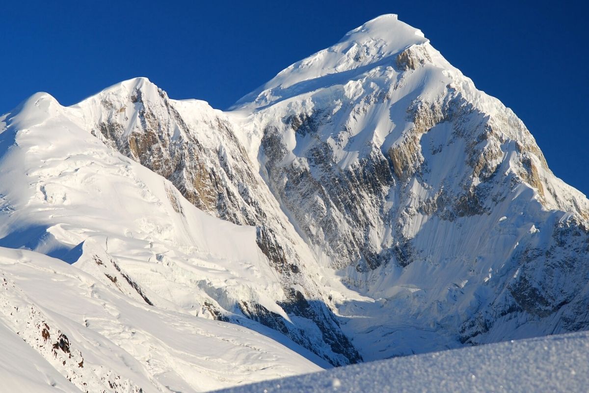
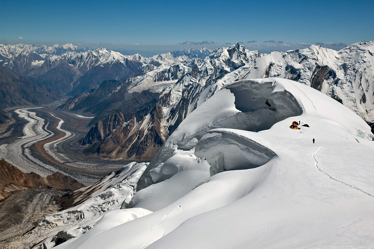
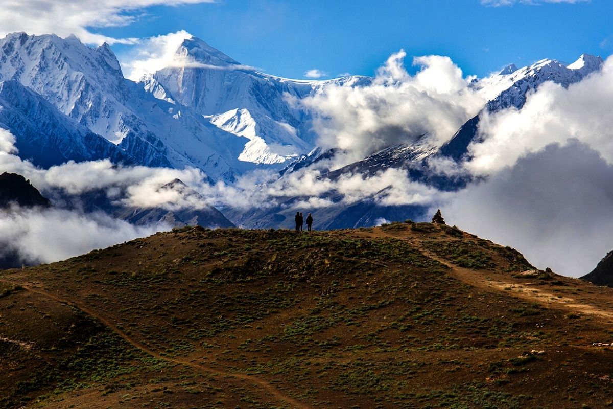
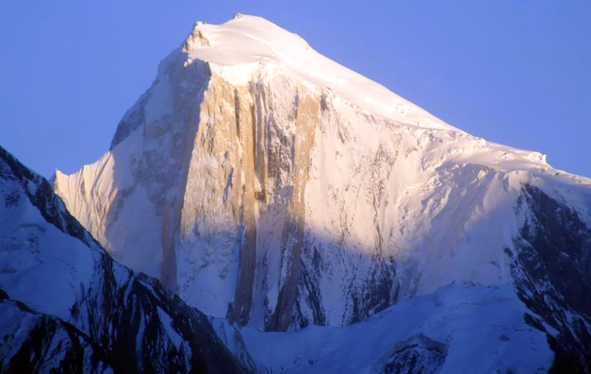
Speaking of Spantik, at 7,027 meters, is essentially speaking of a three-in-one mountain. Climbing to Camps 2 and 3 is an experience in itself, as each camp is situated on a mini-summit of the South-East Ridge, offering a breathtaking 360-degree panoramic view.
Difficulty Level: The success of such an adventure, apart from weather conditions, relies on the physical condition of each participant and their indispensable experience in high-altitude mountaineering. Roped parties should be self-sufficient, even though we provide equipment and assist with the main glacier difficulties (45/50 degrees) with fixed ropes. Participants are expected to contribute as much as possible to the setup of equipment. This expedition is for mountaineers experienced in independent roped parties, navigating snow and glaciers at the AD Level. High-altitude experience is required, such as climbing any 6,000-meter peak. Excellent physical condition and regular practice are necessary to fully enjoy this exceptional journey. Challenges at high altitude include isolation, lack of oxygen, cold temperatures, blizzards, and more.
Over the course of the following 18 days, our singular objective will be to summit Spantik. For this purpose, we will establish three high-altitude camps:
Camp I at approximately 4,450 meters, accessible via a less rugged path but situated farther from the base camp (we ascend to the origin of the Chogolungma glacier, about 8 km from the base). Camp II at 5,300 meters, and Camp III at 6,050 meters.
Certain sections of the route between camps will be equipped with fixed ropes for safety during travel. Ascending to Camps 2 and 3 offers spectacular vistas, as each camp is perched on a mini-summit of the southeastern ridge, providing a 360-degree view. The distribution of collective tasks for high-altitude camps will involve rotation among mountaineers, the team, and the guide(s). From Camp 3, there remains a 950-meter ascent to the summit, to be covered within one day. Traveling between camps aids in acclimatization, a crucial factor for success in most cases. Dismantling of camps will also be a collective effort, guided by the expedition leader.
Spantik Expedition- Dates & Cost
| SPANTIK EXPEDITION | Cost (USD) | Cost (EUR) |
| Spantik Expedition (28 Days) – Group Price | US$ 3,365 | € 3,245 |
| Spantik Expedition (30 Days)- Group Price | US$ 3,475 | € 3,315 |
Welcome at Islamabad airport and transfer to hotel. Afternoon proceed for city tour of Islamabad and Rawalpindi, which includes famous Faisal Mosque, Shakar Parian, Pakistan monument, Damen Koh, Lok Versa, Museum, Rawalpindi old bazaar, Raja Bazaar.
Altitude: 540 m.
Accommodation: Hotel
Meals: Breakfast, Lunch, Dinner
Drive to Naran 6-7 hours 239 km, after lunch continue drive to Chilas 3-4 hours 113.3 km via Babusar Pass 4,173 m.
Babusar Pass is a high mountain pass at an elevation of 4,173 m (13,691 ft) above the sea level. The pass is the highest point in the Kaghan Valley, Pakistan. The pass connects the Kaghan Valley via the Thak Nala with Chilas on the Karakorum Highway. It’s one of the famous hair pinned roads in the world.
Altitude: 1,265m.
Accommodation: Hotel
Meals: Breakfast, Lunch, Dinner
Drive to Skardu along with Indus River 8-9 hours, 290 km. En-route stop at junction point of three great mountain ranges meet, the Karakorum, Himalaya and Hindukush and stop at Thalichi for photography from Nanga Parbat 8,126 m.
Altitude: 2,228 m.
Accommodation: Hotel
Meals: Breakfast, Lunch, Dinner
Today we take the spectacular drive by jeeps to Aarandu. Arandu is last village and starting point of our trek.
Altitude: 2,770m
Accommodation: Camping
Meals: Breakfast, Lunch, Dinner
Trek from Arandu to Chogo Brangsa 6-7 hours.
Altitude: 3,322m
Accommodation: Camping
Meals: Breakfast, Lunch, Dinner
Trek to from Chogo Brangsa to Bolocho camp 5-6 hours.
Altitude: 3,800m
Accommodation: Camping
Meals: Breakfast, Lunch, Dinner
Trek to Spantik base camp 5-6 hours.
Altitude: 4,300m
Accommodation: Camping
Meals: Breakfast, Lunch, Dinner
17 days for climbing Spantik 7027 m.
Accommodation: Camping
Meals: Breakfast, Lunch, Dinner
Trek down to Bolocho 4-5 hours.
Altitude: 3,800m
Accommodation: Camping
Meals: Breakfast, Lunch, Dinner
Trek down to Arandu 4-5 hours.
Altitude: 2,770m
Accommodation: Camping
Meals: Breakfast, Lunch, Dinner
Drive back to Skardu 6-7 hours.
Altitude: 2,228m
Accommodation: Hotel
Meals: Breakfast, Lunch, Dinner
We fly back to Islamabad. Afternoon is free for exploring.
Note: If our flight is cancelled due to bad weather, we will start the drive to Islamabad travelling for 9 hours along with Indus River to reach Chilas.
Altitude: 540m
Accommodation: Hotel
Meals: Breakfast, Lunch, Dinner
Enjoy a free day in Islamabad for exploring, sightseeing and shopping.
Note: If our flight on day 28 cancelled we will spend 11-12 hours driving from Chilas to Islamabad via Babusar Pass 4173 m.
Altitude: 540m
Accommodation: Hotel
Meals: Breakfast, Lunch, Dinner
Transfer to Islamabad airport for return flight.
- All domestic flights and road transfers
- All hotel accommodation (twin sharing room)
- All trekking accommodation during trek and at base camp
- All camping site and bridge fees
- Arrangement of Official Briefing/Debriefing.
- Assist import/export permit from Ministry of Tourism.
- Cargo handling and storage in Skardu office.
- Electricity generator
- First aid medicine kit (basic)
- Satellite phone for emergencies
- D3V sleeping tent, Toilet Tent, Shower Tent and store tent.
- Kitchen equipment, crockery, cutlery, fuel and related community gear.
- Licensed professional guide (government requirement)
- Support staff (cook, assistant(s) etc)
- Royal Fee/Climbing permit 2000 U$ per person
- CKNP/Waste management Fee 110 U$ per person
- International airfare and airport taxes.
- Visa fee for Pakistan and personal insurance of the clients.
- Tips for drivers, porters and staff
- Single Supplement
- Transfers to and from airports for participants making individual air arrangements
- Optional excursions or deviations from the scheduled tour
- Sleeping bag and all personal expenses such as telephone charges, liquor or soft drinks,
- Room service, gratuities for personal services, items of a purely
- Any other service that is not mentioned in the list above.
