27 Years of Excellence
Government Licence: 396

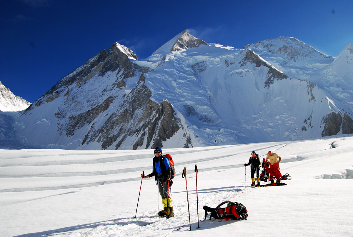
K2 Expedition

K2 Expedition Pakistan
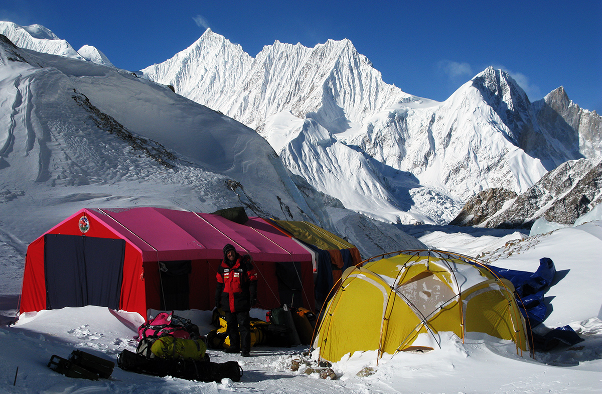
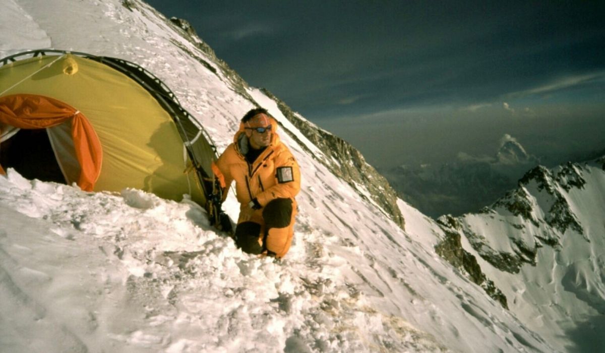
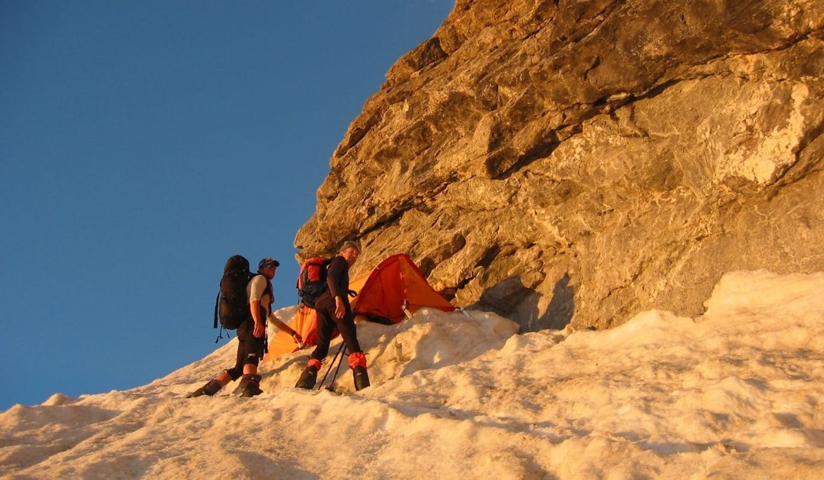
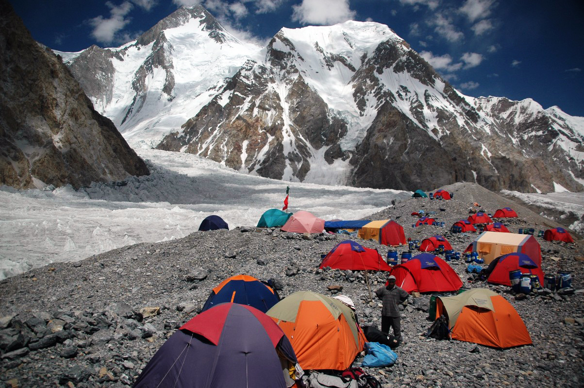
Camp 3 K2 Expedition
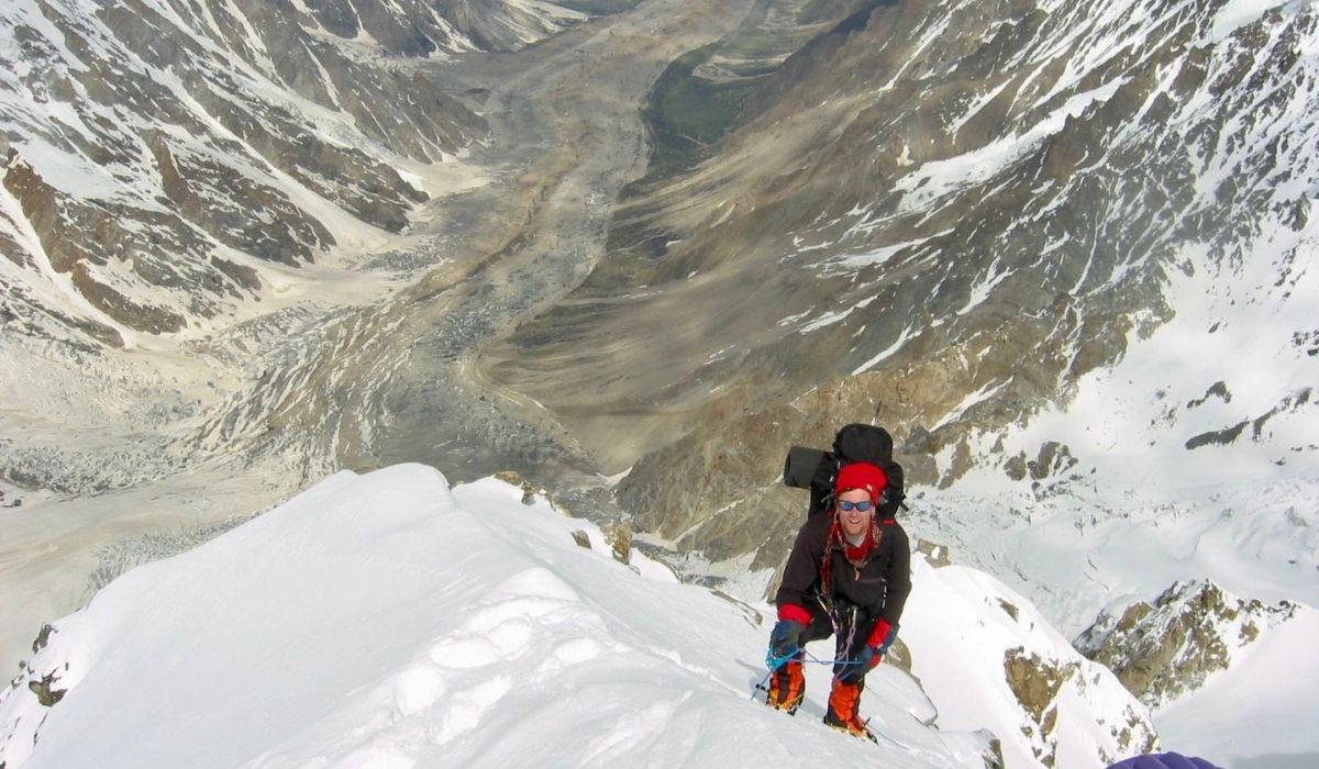
K2-view-from-the-top
Trekking to K2
K2 Climbing
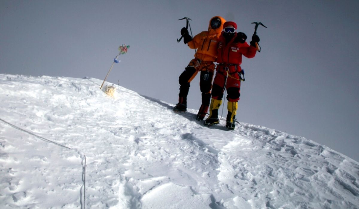
K2 Summit
K2 Expedition Pakistan
Camp 3 K2 Expedition
K2-view-from-the-top
Trekking to K2
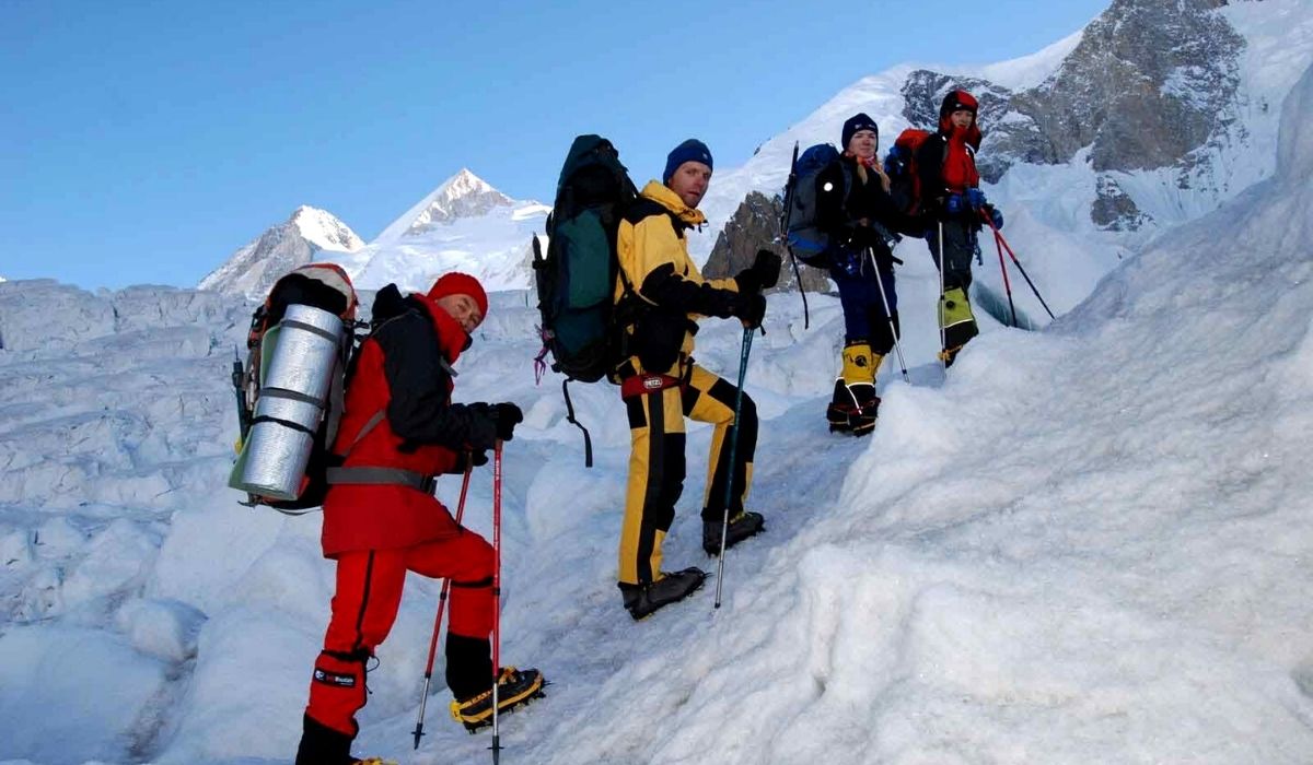
K2 Climbing
K2 Climbing
previous arrow
next arrow
K2 Expedition- 8,611-M (Karakorum)
K2 EXPEDITION COSTCost (USD)Cost (EUR)
K2 Expedition (55 Days) –  Group PriceUS$ 5,350€ 5,200
K2 Expedition (60 Days) –  Group PriceUS$ 5,580€ 5,430
K2 (8,611-M) 
 

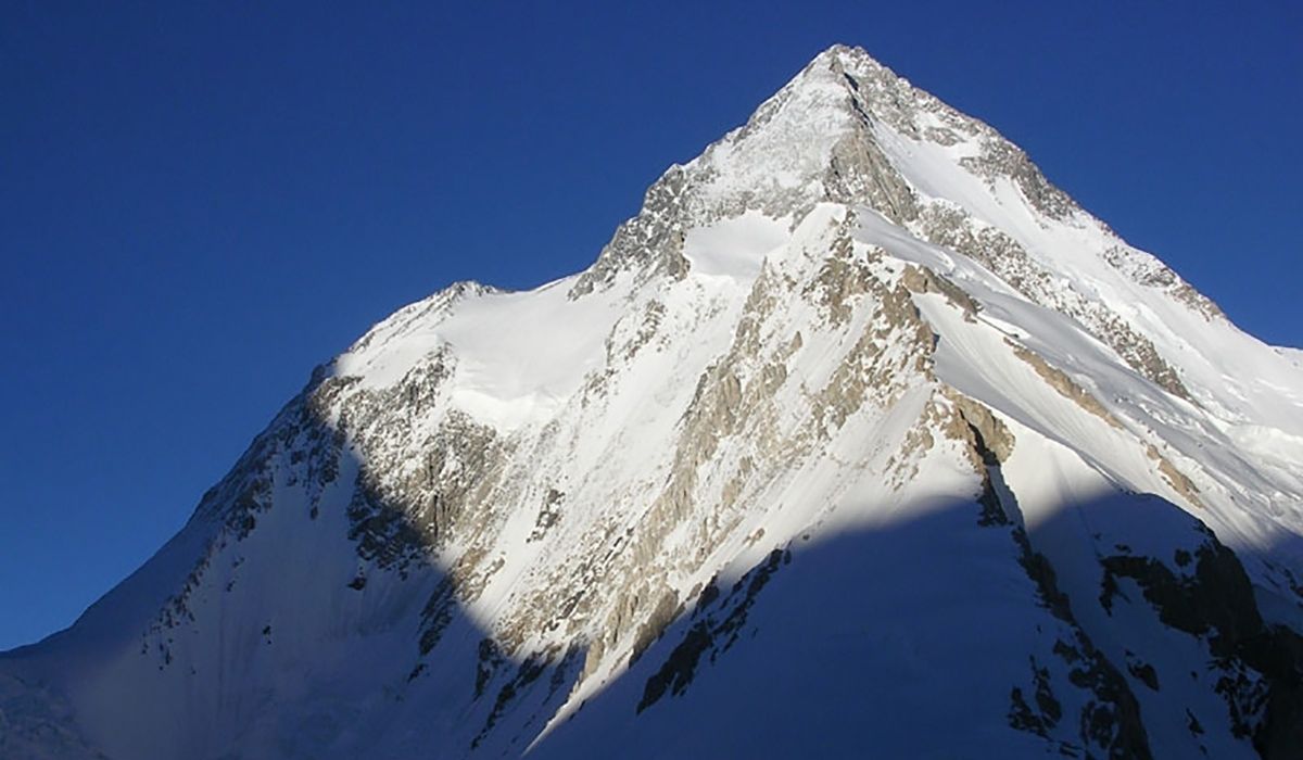
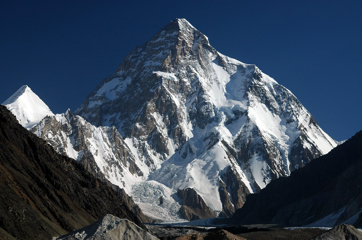
K2, the second-highest mountain in the world at 8,611 meters, is known for its challenging conditions and breathtaking scenery. Hunza Guides Pakistan offers a comprehensive K2 Expedition package that blends adventure with safety, providing expert guidance and support throughout your journey.

K2 Expedition registration is now open. We are offering both, full board and base camp logistic services for mountaineers and Alpinists from around the world.  Climbing K2 is considered one of the top mountaineering expeditions in the world. The mighty K2 is every tough mountaineer’s dream.

K2 Expedition- Dates (Fixed Departures)
 
Start DatesEnd DatesDeposit AvailabilityRegister
15-June08-AugustUS$ 800 Available 
20-June18-AugustUS$ 800 Available 
Detailed Itinerary K2 Expedition
 

Welcome at Islamabad airport and transfer to hotel. Afternoon proceed for city tour of Islamabad and Rawalpindi, which includes famous Faisal Mosque, Shakar Parian, Pakistan monument, Damen Koh, Lok Versa, Museum, Rawalpindi old bazaar, Raja Bazaar.

Altitude: 540m.
Accommodation: Hotel
Meals: Breakfast, Lunch, Dinner

Drive to Naran 6-7 hours 239 km, after lunch continue drive to Chilas 3-4 hours 113.3 km via Babusar Pass 4,173 m.
Babusar Pass is a high mountain pass at an elevation of 4,173 m (13,691 ft) above the sea level. The pass is the highest point in the Kaghan Valley, Pakistan. The pass connects the Kaghan Valley via the Thak Nala with Chilas on the Karakorum Highway. It’s one of the famous hair pinned roads in the world.

Altitude: 1,265m.
Accommodation: Hotel
Meals: Breakfast, Lunch, Dinner

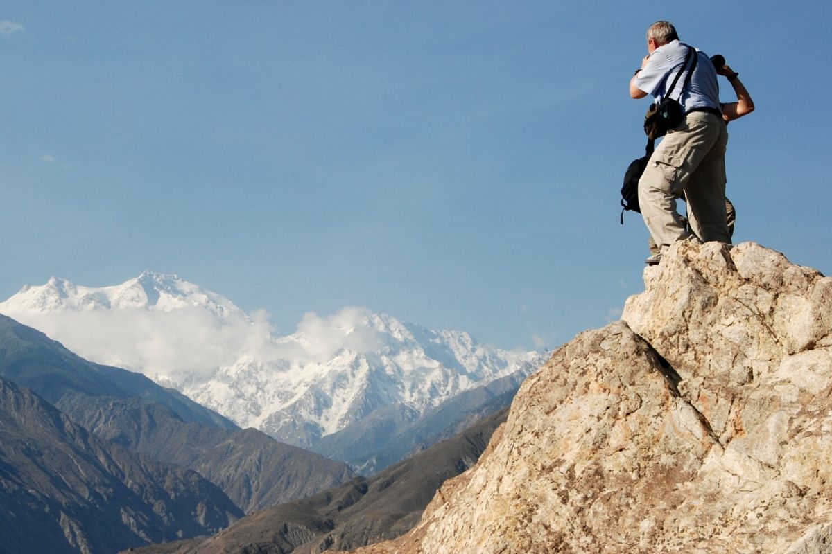
Drive to Skardu along with Indus River 8-9 hours, 290 km. En-route stop at junction point of three great mountain ranges meet, the Karakorum, Himalaya and Hindukush and stop at Thalichi for photography from Nanga Parbat 8,126 m.

Altitude: 2,228m.
Accommodation: Hotel
Meals: Breakfast, Lunch, Dinner

Today we take the spectacular drive by jeeps to Jhola Camp 8-9 hours via Askoli village.
It is a spectacular drive from Skardu to Jhola; the jeep road crosses the Braldu River three times and passes the villages of Dassu, Apligon, Pakora, Hoto Chongo, Thongal and Askoli.

Altitude: 3,100m.
Accommodation: Camping
Meals: Breakfast, Lunch, Dinner

Trek to Paiyu 6-7 hours 16.6 km.
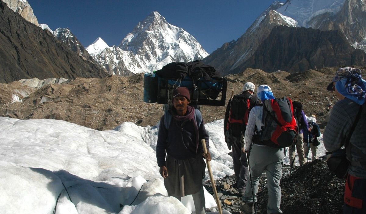
This is an undulating walk, difficult at times, with the first views of dramatic mountains ahead. There is a rest stop by some tamarisk trees beside the stream flowing down from Paiyu Peak, where we saw ibex tracks and fox spore. The trail climbs to a vantage point from which you see the snout of Baltoro Glacier and, in the far distance, a magnificent panorama of the Cathedral and Trango Towers and left of them, the unmistakable triangle of K2 .

Altitude: 3,450m
Accommodation: Camping
Meals: Breakfast, Lunch, Dinner

Trek to Urdukas 15.9 km, 7-8 hours. Another stunning day on our journey to K2 Base Camp. View of Paiyu Peak 6,610 m, Uli Biaho 6,417 m, Great Trango Tower 6,286 m, Lobsang Spire 5,707 m and the Cathedral Towers. 

Altitude: 4,050m
Accommodation: Camping
Meals: Breakfast, Lunch, Dinner

Free day for local exploration and Porter will prepare their food for further trek. We enjoy a slow start today taking in our stunning surroundings. We take a short acclimatization trek during the day and in the evening sing and dance with the porters.

Altitude: 4,050m
Accommodation: Camping
Meals: Breakfast, Lunch, Dinner

Trek to Goro-II, 12.1 km, 5-6 hours.
A special day today as we will be greeted by our first full view of the giant peaks of the Karakorum. Masherbrum 7821 m, Muztagh Tower 7,284 m, G-IV (7,925 m), Miter Peak 6,025 m and Biarchedi Peak 6,781 m. 

Altitude: 4,380m
Accommodation: Camping
Meals: Breakfast, Lunch, Dinner

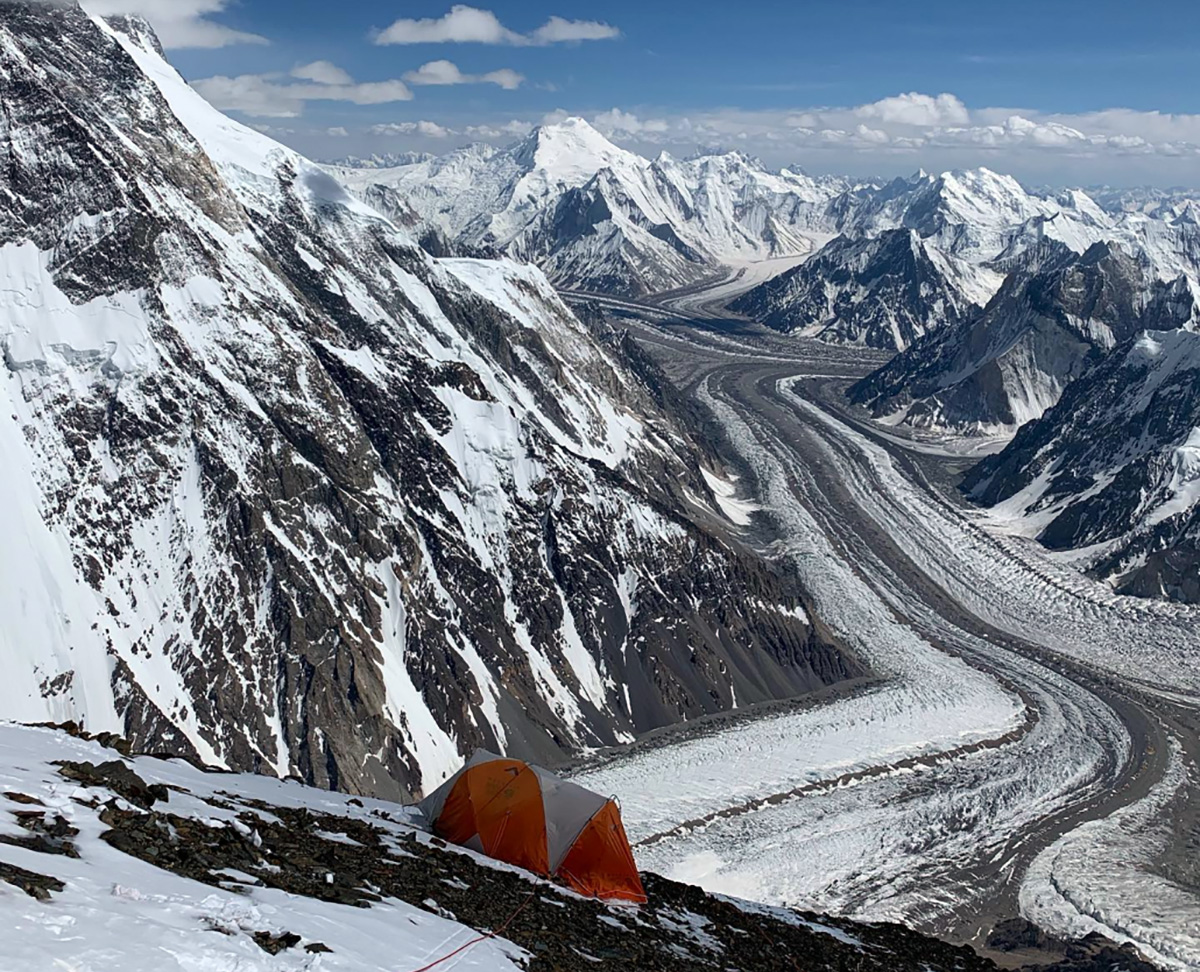
Trek to Concordia 9.2 km, 5-6 hours. Where the Baltoro, Abruzzi and Godwin Austen glaciers meet. The 360-degree panoramic view here is one of the most spectacular sights in the world. Concordia the joining of the five glaciers you will be in the heart great Mountain K2, 8611 m, Broad Peak 8047 m, Angel Peak 6858 m to the left and to the East Baltoro Kangri, Kondus, Snow Dome, Golden Throne and numerous nameless mountains all around this is an exciting day of your trip.

Altitude: 4,650m
Accommodation: Camping
Meals: Breakfast, Lunch, Dinner

Trek to K2 base camp 5-6 hours.

Altitude: 5,100m
Accommodation: Camping
Meals: Breakfast, Lunch, Dinner

42 days in K2 base camp for climbing

Accommodation: Camping
Meals: Breakfast, Lunch, Dinner

4 days for trekking down to Jhola Camp

Accommodation: Camping:
Meals: Breakfast, Lunch, Dinner

Drive back to Skardu by Jeeps 8-9 hours.

Altitude: 2,228m:
Accommodation: Hotel:
Meals: Breakfast, Lunch, Dinner

Today we fly to Islamabad. Afternoon is free for exploring. Note: If our flight is cancelled due to bad weather, we will start the drive to Islamabad travelling for 9 hrs along with Indus River to reach Chilas.

Altitude: 540m
Accommodation: Hotel
Meals: Breakfast, Lunch, Dinner

Enjoy a free day in Islamabad for exploring, sightseeing and shopping. Note: If our flight on day 18 cancelled we will spend 11-12 hours driving from Chilas to Islamabad via Babusar Pass 4173 m.

Altitude: 540m
Accommodation: Hotel
Meals: Breakfast, Lunch, Dinner

Transfer to Islamabad airport for return flight.

General Information about K2 Expedition

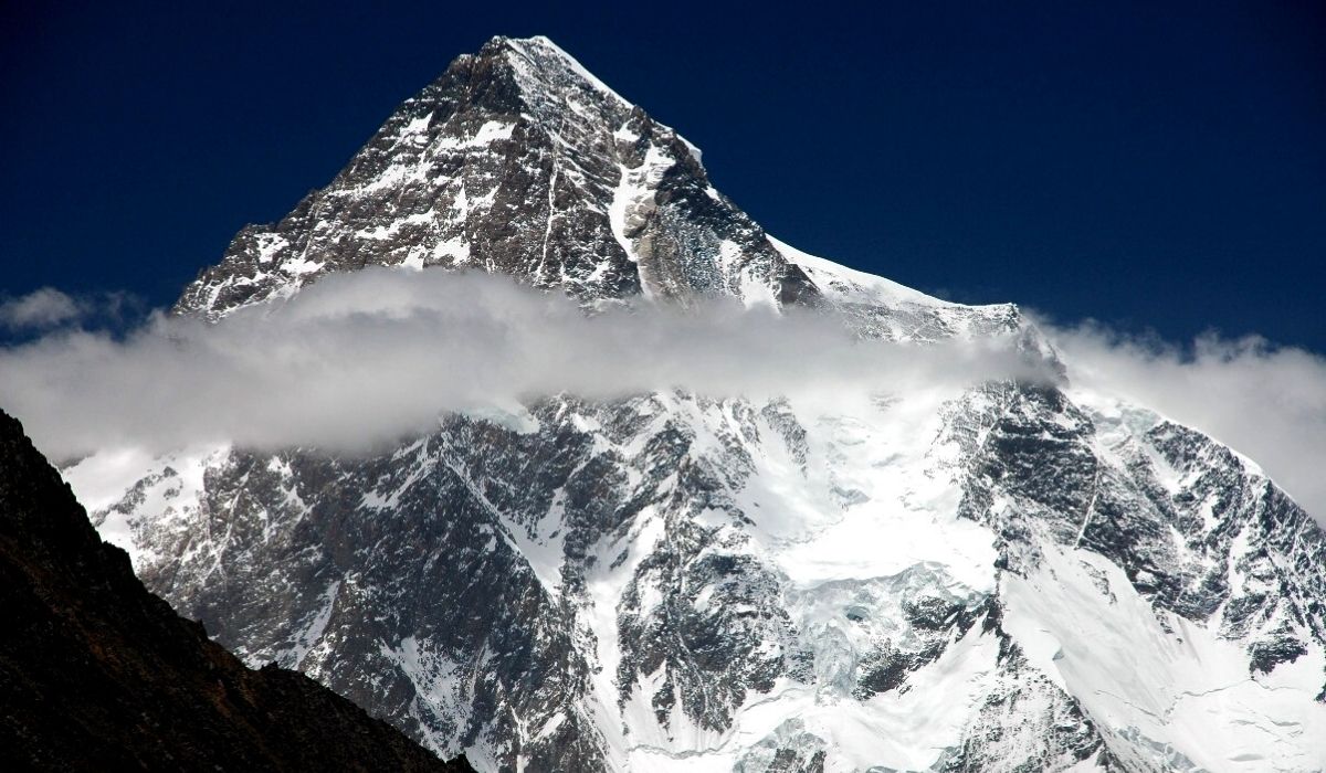
K2 (8611m) is the second-highest mountain on Earth. It is located in the Karakorum segment of the Himalayan range, on the border between the Gilgit- Baltistan region of Pakistan administered Northern Areas and the Taxkorgan Tajik Autonomous County of Xinjiang, China. However, those who climb K2 8611m must acquire entry via Pakistan as the Chinese side is inaccessible.

Climbing routes and difficulties
There are a number of routes on K2. First is the extremely high altitude and resulting lack of oxygen. There is only one third as much oxygen available to a climber on the summit of K2 as there is at sea level. Second is the propensity of the mountain to extreme storms of several days’ duration, which have resulted in many of the deaths on the peak. The third is the steep, exposed, and committing nature of all routes on the mountain, which makes the retreat more difficult, especially during a storm. Despite many tries, there has been no successful ascent during the winter.

Broad Peak Expedition

Broad Peak 8047m Expedition
Broad Peak camp 2
Broad Peak camp 2
Broad Peak 8047m
Broad Peak 8047m Karakoram Pakistan
Broad Peak Summit
Broad Peak 8047m Expedition
Broad Peak camp 2
Broad Peak camp 2
Broad Peak 8047m
Broad Peak 8047m Karakoram Pakistan
Broad Peak Summit
previous arrow
next arrow
Broad Peak Expedition- (8,047-M)- Karakorum
 

We are offering both, full board and Base camp logistic services for mountaineers and alpinists from around the world.

Broad Peak originally named K3 is the 12th highest mountain on Earth located on the border of China-Pakistan. Broad Peak is part of the Gasherbrum massif and is about 5 miles from K2. Originally named K3 right after the naming of K2 but on closer inspection by a later party, it was discovered that the summit was over 1 mile long, thus “Broad Peak”. Broad Peak is known locally as Faichan Kangri.

The first ascent of Broad Peak was made on June 9, 1957, by Fritz Wintersteller, Marcus Schmuck, Kurt Diemberger, and Hermann Buhl of an Austrian expedition led by Marcus Schmuck. A first attempt by the team was made on May 29 where Fritz Wintersteller and Kurt Diemberger reached the forepeak (8,030m). This was also accomplished without the aid of supplemental oxygen or high altitude porters and without base camp support.

Broad Peak Expedition- Dates and Cost
BROAD PEAK EXPEDITION Cost (USD)Cost (EUR)
Broad Peak Expedition (45 Days) Group PriceUS$ 4,510€ 4,270
Broad Peak Expedition (50 Days) – Group PriceUS$ 4,660€ 4,420


Start Dates End Dates Deposit Availability Register
17-June 31-July US$ 800 Available
25-June 13-August US$ 800  Available 
Detailed Itinerary Broad Peak Expedition

Welcome at Islamabad airport and transfer to hotel. Afternoon proceed for city tour of Islamabad and Rawalpindi, which includes famous Faisal Mosque, Shakar Parian, Pakistan monument, Damen Koh, Lok Versa, Museum, Rawalpindi old bazaar, Raja Bazaar.

Altitude: 540m.
Accommodation: Hotel
Meals: Breakfast, Lunch, Dinner

Drive to Naran 6-7 hours 239 km, after lunch continue drive to Chilas 3-4 hours 113.3 km via Babusar Pass 4,173 m.
Babusar Pass is a high mountain pass at an elevation of 4,173 m (13,691 ft) above the sea level. The pass is the highest point in the Kaghan Valley, Pakistan. The pass connects the Kaghan Valley via the Thak Nala with Chilas on the Karakorum Highway. It’s one of the famous hair pinned roads in the world.

Altitude: 1,265m.
Accommodation: Hotel
Meals: Breakfast, Lunch, Dinner

Drive to Skardu along with Indus River 8-9 hours, 290 km. En-route stop at junction point of three great mountain ranges meet, the Karakorum, Himalaya and Hindukush and stop at Thalichi for photography from Nanga Parbat 8,126 m.

Altitude: 2,228 m.
Accommodation: Hotel
Meals: Breakfast, Lunch, Dinner

Today we take the spectacular drive by jeeps to Jhola Camp 8-9 hours via Askoli village.
It is a spectacular drive from Skardu to Jhola; the jeep road crosses the Braldu River three times and passes the villages of Dassu, Apligon, Pakora, Hoto Chongo, Thongal and Askoli.

Altitude: 3,100m.
Accommodation: Camping
Meals: Breakfast, Lunch, Dinner

Trek to Paiyu 6-7 hours 16.6 km.
This is an undulating walk, difficult at times, with the first views of dramatic mountains ahead. There is a rest stop by some tamarisk trees beside the stream flowing down from Paiyu Peak, where we saw ibex tracks and fox spore. The trail climbs to a vantage point from which you see the snout of Baltoro Glacier and, in the far distance, a magnificent panorama of the Cathedral and Trango Towers and left of them, the unmistakable triangle of K2 .

Altitude: 3,450m
Accommodation: Camping
Meals: Breakfast, Lunch, Dinner

Trek to Urdukas 15.9 km, 7-8 hours. Another stunning day on our journey to K2 Base Camp. View of Paiyu Peak 6,610 m, Uli Biaho 6,417 m, Great Trango Tower 6,286 m, Lobsang Spire 5,707 m and the Cathedral Towers. 

Altitude: 4,050m
Accommodation: Camping
Meals: Breakfast, Lunch, Dinner

Free day for local exploration and Porter will prepare their food for further trek. We enjoy a slow start today taking in our stunning surroundings. We take a short acclimatization trek during the day and in the evening sing and dance with the porters.

Altitude: 4,050m
Accommodation: Camping
Meals: Breakfast, Lunch, Dinner

Trek to Goro-II, 12.1 km, 5-6 hours.
A special day today as we will be greeted by our first full view of the giant peaks of the Karakorum. Masherbrum 7821 m, Muztagh Tower 7,284 m, G-IV (7,925 m), Miter Peak 6,025 m and Biarchedi Peak 6,781 m. 

Altitude: 4,380m
Accommodation: Camping
Meals: Breakfast, Lunch, Dinner

Trek to Concordia 9.2 km, 5-6 hours. Where the Baltoro, Abruzzi and Godwin Austen glaciers meet. The 360-degree panoramic view here is one of the most spectacular sights in the world. Concordia the joining of the five glaciers you will be in the heart great Mountain K2, 8611 m, Broad Peak 8047 m, Angel Peak 6858 m to the left and to the East Baltoro Kangri, Kondus, Snow Dome, Golden Throne and numerous nameless mountains all around this is an exciting day of your trip. After lunch continue trek to Broad Peak base camp 3-4 hours.

Altitude: 4,650m
Accommodation: Camping
Meals: Breakfast, Lunch, Dinner

31 days in Broad Peak base camp for climbing

Accommodation: Hotel
Meals: Breakfast, Lunch, Dinner

4 days for trekking down to Jhola Camp 

Accommodation: Camping:
Meals: Breakfast, Lunch, Dinner

Drive back to Skardu by Jeeps 8-9 hours.

Altitude: 2,228m:
Accommodation: Hotel:
Meals: Breakfast, Lunch, Dinner

Today we fly to Islamabad. Afternoon is free for exploring. Note: If our flight is cancelled due to bad weather, we will start the drive to Islamabad travelling for 9 hrs along with Indus River to reach Chilas.

Altitude: 540m
Accommodation: Hotel
Meals: Breakfast, Lunch, Dinner

Enjoy a free day in Islamabad for exploring, sightseeing and shopping. Note: If our flight on day 18 cancelled we will spend 11-12 hours driving from Chilas to Islamabad via Babusar Pass 4173 m.

Altitude: 540m
Accommodation: Hotel
Meals: Breakfast, Lunch, Dinner

Transfer to Islamabad airport for return flight.

Gasherbrum II Expedition

Gasherbrum-II Expedition (8,035-M)
Camp Site Gasherbrum-II Expedition
Summit of Gasherbrum II
Climbing on Gasherbrum
Gasherbrum camp 1
Gasherbrum Camp 2
Gasherbrum-II Expedition (8,035-M)
Camp Site Gasherbrum-II Expedition
Summit of Gasherbrum II
Climbing on Gasherbrum
Gasherbrum camp 1
Gasherbrum Camp 2
previous arrow
next arrow
Gasherbrum-II Expedition- 8,035-)- Karakorum
 

Registration open for Summer and winter expedition to Gasherbrum II. We are offering both, full board or Base camp logistic services for mountaineers and alpinists from around the world.

Gasherbrum II is a mountain which stands in the neighborhood of K-2 and Broad Peak in the Karakoram Mountains of Pakistan. Gasherbrum means a shining wall. There are six Gasherbrum peaks in the Karakorum Range. Gasherbrum II is 13th highest mountain in the world at 8,035 metres above sea level. It was captain Young husband and his party which in 1889 discovered Gasherbrum glacier.
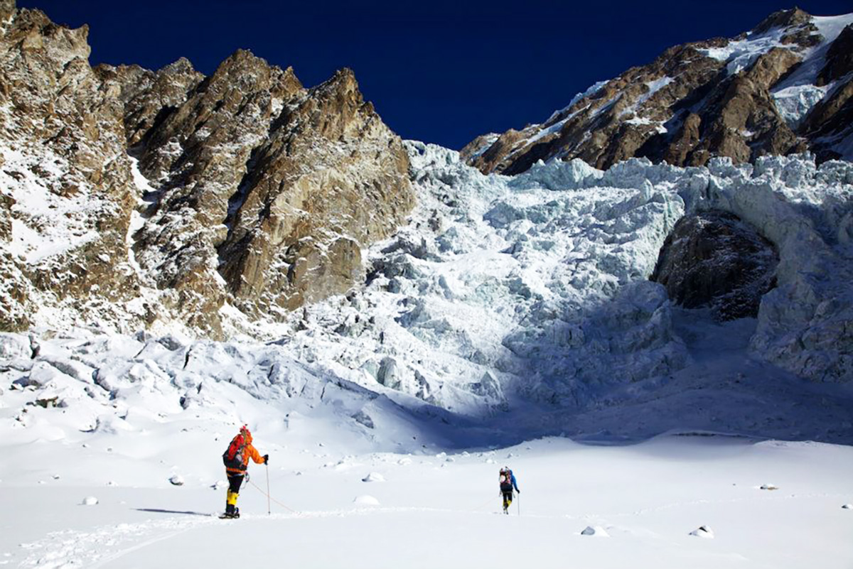
In 1956, members of an Austrian Karakorum expedition climbed Gasherbrum-II (8035m/26,361ft). The party was led by Fritz Moravec. It set up a base camp on the south Gasherbrum glacier. Camp-1 was set up at 6,005m/19,700ft. It was here that the party was forced to stay for ten days because of a severe storm. Consequently, it lost a large supply store in an avalanche. After setting up a few more camps, Fritz Moravec, Josef Larch, and Hans Willenpart set up a bivouac below 7,620m/25,000ft. In spite of frostbites suffered in the bivouac, the three reached the summit of Gasherbrum-II on the 8th July and came back without meeting any further accident.
Hunza Guides organized first successful winter expedition to Gasherbrum II led by Simone Moro and Denis Urubko in 2011.

Gasherbrum-II Expedition- Dates and Cost
GASHERBRUM EXPEDITION Cost (USD)Cost (EUR)
Gasherbrum-II Expedition (45 Days) – Group PriceUS$ 4,780€ 4,630
Gasherbrum-II Expedition (50 Days) – Group PriceUS$ 4,940€ 4,790
Start DatesEnd DatesDeposit AvailabilityRegister
15-June03-AugustUS$ 800Available 
20-June06-AugustUS$ 800Available
Detailed Itinerary Gasherbrum-II Expedition
 

Welcome at Islamabad airport and transfer to hotel. Afternoon proceed for city tour of Islamabad and Rawalpindi, which includes famous Faisal Mosque, Shakar Parian, Pakistan monument, Damen Koh, Lok Versa, Museum, Rawalpindi old bazaar, Raja Bazaar.

Altitude: 540m.
Accommodation: Hotel
Meals: Breakfast, Lunch, Dinner

Drive to Naran 6-7 hours 239 km, after lunch continue drive to Chilas 3-4 hours 113.3 km via Babusar Pass 4,173 m.
Babusar Pass is a high mountain pass at an elevation of 4,173 m (13,691 ft) above the sea level. The pass is the highest point in the Kaghan Valley, Pakistan. The pass connects the Kaghan Valley via the Thak Nala with Chilas on the Karakorum Highway. It’s one of the famous hair pinned roads in the world.

Altitude: 1,265m.
Accommodation: Hotel
Meals: Breakfast, Lunch, Dinner

Drive to Skardu along with Indus River 8-9 hours, 290 km. En-route stop at junction point of three great mountain ranges meet, the Karakorum, Himalaya and Hindukush and stop at Thalichi for photography from Nanga Parbat 8,126 m.

Altitude: 2,228m.
Accommodation: Hotel
Meals: Breakfast, Lunch, Dinner

Today we take the spectacular drive by jeeps to Jhola Camp 8-9 hours via Askoli village.
It is a spectacular drive from Skardu to Jhola; the jeep road crosses the Braldu River three times and passes the villages of Dassu, Apligon, Pakora, Hoto Chongo, Thongal and Askoli.

Altitude: 3,100m.
Accommodation: Camping
Meals: Breakfast, Lunch, Dinner

Trek to Paiyu 6-7 hours 16.6 km.
This is an undulating walk, difficult at times, with the first views of dramatic mountains ahead. There is a rest stop by some tamarisk trees beside the stream flowing down from Paiyu Peak, where we saw ibex tracks and fox spore. The trail climbs to a vantage point from which you see the snout of Baltoro Glacier and, in the far distance, a magnificent panorama of the Cathedral and Trango Towers and left of them, the unmistakable triangle of K2 .

Altitude: 3,450m
Accommodation: Camping
Meals: Breakfast, Lunch, Dinner

Trek to Urdukas 15.9 km, 7-8 hours. Another stunning day on our journey to K2 Base Camp. View of Paiyu Peak 6,610 m, Uli Biaho 6,417 m, Great Trango Tower 6,286 m, Lobsang Spire 5,707 m and the Cathedral Towers. 

Altitude: 4,050m
Accommodation: Camping
Meals: Breakfast, Lunch, Dinner

Free day for local exploration and Porter will prepare their food for further trek. We enjoy a slow start today taking in our stunning surroundings. We take a short acclimatization trek during the day and in the evening sing and dance with the porters.

Altitude: 4,050m
Accommodation: Camping
Meals: Breakfast, Lunch, Dinner

Trek to Goro-II, 12.1 km, 5-6 hours.
A special day today as we will be greeted by our first full view of the giant peaks of the Karakorum. Masherbrum 7821 m, Muztagh Tower 7,284 m, G-IV (7,925 m), Miter Peak 6,025 m and Biarchedi Peak 6,781 m. 

Altitude: 4,380m
Accommodation: Camping
Meals: Breakfast, Lunch, Dinner

Trek to Concordia 9.2 km, 5-6 hours. Where the Baltoro, Abruzzi and Godwin Austen glaciers meet. The 360-degree panoramic view here is one of the most spectacular sights in the world. Concordia the joining of the five glaciers you will be in the heart great Mountain K2, 8611 m, Broad Peak 8047 m, Angel Peak 6858 m to the left and to the East Baltoro Kangri, Kondus, Snow Dome, Golden Throne and numerous nameless mountains all around this is an exciting day of your trip.

Altitude: 4,650m
Accommodation: Camping
Meals: Breakfast, Lunch, Dinner

Trek to Gasherbrum base camp 5-6 hours.

Altitude: 5,100m
Accommodation: Camping
Meals: Breakfast, Lunch, Dinner

30 days in Gasherbrum base camp for climbing

Accommodation: Camping
Meals: Breakfast, Lunch, Dinner

4 days for trekking down to Jhola Camp 

Accommodation: Camping:
Meals: Breakfast, Lunch, Dinner

Drive back to Skardu by Jeeps 8-9 hours.

Altitude: 2,228m
Accommodation: Hotel:
Meals: Breakfast, Lunch, Dinner

Today we fly to Islamabad. Afternoon is free for exploring. Note: If our flight is cancelled due to bad weather, we will start the drive to Islamabad travelling for 9 hrs along with Indus River to reach Chilas.

Altitude: 540m
Accommodation: Hotel
Meals: Breakfast, Lunch, Dinner

Enjoy a free day in Islamabad for exploring, sightseeing and shopping. Note: If our flight on day 18 cancelled we will spend 11-12 hours driving from Chilas to Islamabad via Babusar Pass 4173 m.

Altitude: 540m
Accommodation: Hotel
Meals: Breakfast, Lunch, Dinner

Transfer to Islamabad airport for return flight.

Nanga Parbat Diamer Face

Nanga Parbat Expedition (Diamer Face) 8,126-M
Nanga Parbat basecamp
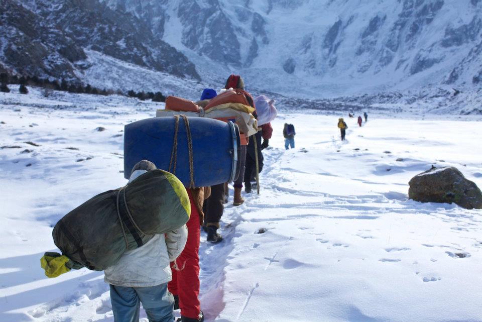
porters  towards the Nanga Parbat basecamp
Nanga Parbat camp 2
Nanga Climbing Nanga Parbat camp 2
Summit of Nanga Parbat
Nanga Parbat Expedition (Diamer Face) 8,126-M
Nanga Parbat basecamp
porters towards the Nanga Parbat basecamp
Nanga Parbat camp 2
Climbing Nanga Parbat
Summit of Nanga Parbat
previous arrow
next arrow
Nanga Parbat Expedition- (8,126-M) Diamer Face
 

Nanga Parbat 8126m
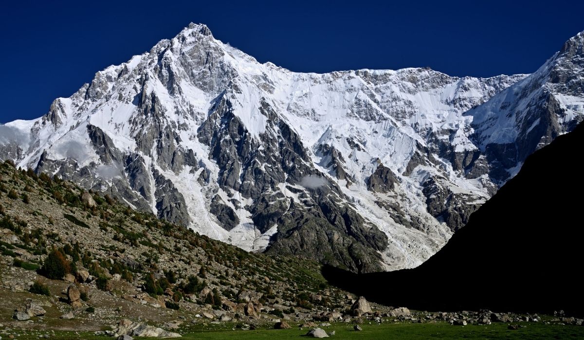
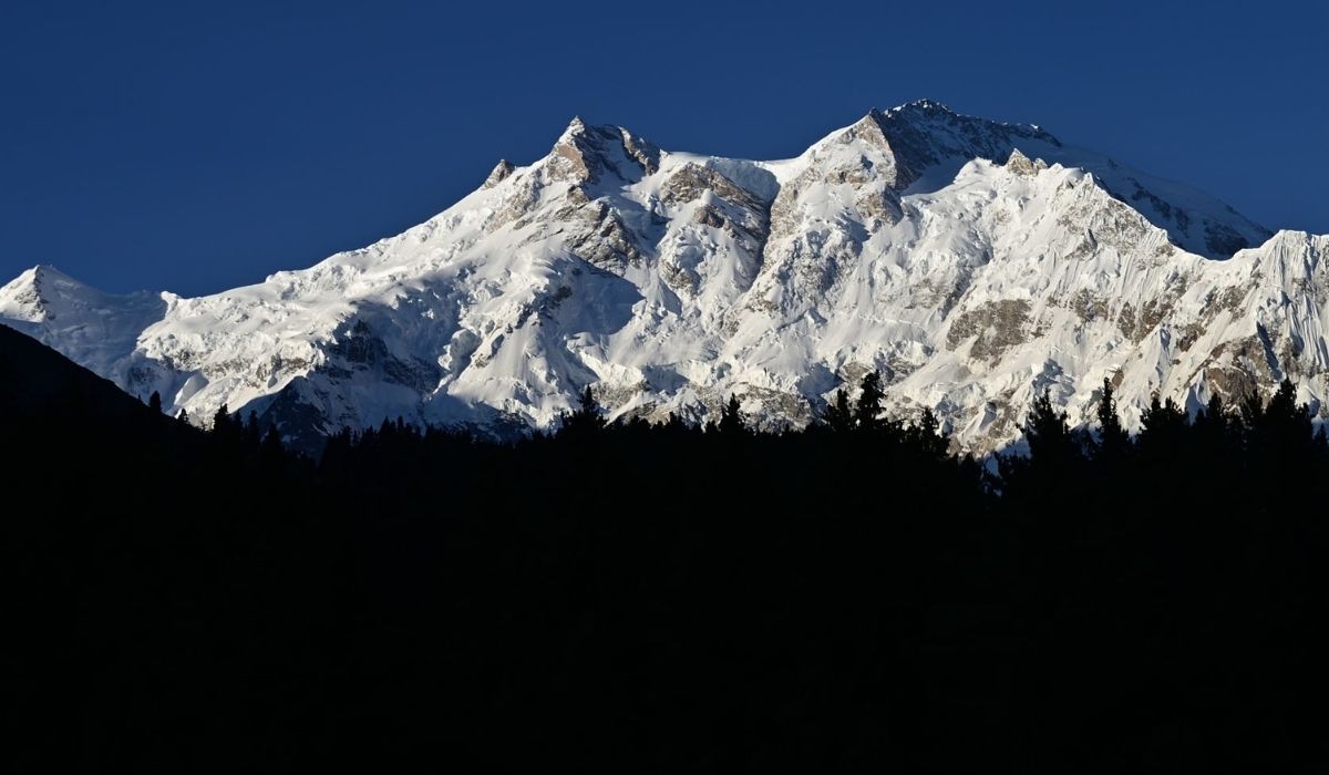
Nanga Parbat 8126-m known locally as Diamer, means Naked Mountain, but people love to call it “Sleeping Beauty” of western Himalayan Mountain Range. Nanga Parbat lies south of the Indus river, Diamer district of Gilgit Baltistan. In 1937 twelve climbers and eighteen Sherpa’s died on Nanga Parbat, due to this disaster on Nanga Parbat gave it nick-name “killer mountain and in 1953 by joined Austrian/German expedition named Hermann Buhl was the first to climb the Nanga Parbat in summer. Later on, many climbers from different parts of the world scaled Nanga Parbat, it is the 2nd highest peak after K2 in Pakistan and ranked 9th highest peak in the world.

Winter Nanga Parbat expedition
Nanga Parbat was first successfully climbed in winter on February 26, 2016, by a team consisting of Ali Sadpara from Pakistan, Alex Txikon from Spain and Simone Moro from Italy.

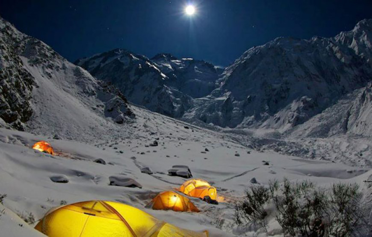
We drive approximately 10 to 12 hours from Islamabad to Chilas, next 2 to 3-hour drive from Chilas to Halala village 2 hours, here we meet porters and we start 3 to 4 days’ moderate trek through forest with porters towards Diamer Kinshofer BC. Day 2 trek to Jheel 5/6 hours, on day 3 trek to Kutegali 4/5 hours, on day 4 we reach to Nanga Parbat Diamer Kinshofer BC.

Nanga Parbat Expedition- Dates and Cost
 
NANGA PARBAT EXPEDITION Cost (USD)Cost (EUR)
Nanga Parbat Expedition (35 Days) – Group PriceUS$ 3,800€ 3,640
Nanga Parbat Expedition (40 Days) – Group PriceUS$ 3,950€ 3,790
Start DatesEnd DatesDepositAvailabilityRegister
10-June14-JulyUS$ 600Available 
15-June19-JulyUS$ 600Available 
Detailed Itinerary Nanga Parbat Expedition- Diamer Face
 

Welcome at Islamabad airport and transfer to hotel. Afternoon proceed for city tour of Islamabad and Rawalpindi, which includes famous Faisal Mosque, Shakar Parian, Pakistan monument, Damen Koh, Lok Versa, Museum, Rawalpindi old bazaar, Raja Bazaar.

Accommodation: Hotel
Meals: Breakfast, Lunch, Dinner

Drive to Naran 6-7 hours, 239 km. After lunch continue drive to Chilas 3-4 hours 113.3 km via Babusar Pass 4,173m. Babusar Pass is a high mountain pass at an elevation of 4,173 m (13,691 ft) above the sea level. The pass is the highest point in the Kaghan Valley, Pakistan. The pass connects the Kaghan Valley via the ThakNala with Chilas on the Karakoram Highway. It’s one of the famous hair pinned roads in the world.

• Accommodation: Hotel
• Meals: Breakfast, Lunch, Dinner

Drive to Bonar Das, drive by Jeeps to Halala 1 hour and trek to Jheel 5-6 hours.

Accommodation: Camping
Meals: Breakfast, Lunch, Dinner 

Trek to from Jheel to Kutagali 4-5 hours.

Accommodation: Camping
Meals: Breakfast, Lunch, Dinner

Trek from Kutgali to Nanga Parbat base camp 3-4 hours.

Accommodation: Camping
Meals: Breakfast, Lunch, Dinner

31 days in Gasherbrum base camp for climbing

Accommodation: Camping
Meals: Breakfast, Lunch, Dinner

Trek from Nanga Parbat base camp to Jheel 5-6 hours.

Accommodation: Camping  
Meals: Breakfast, Lunch, Dinner

Trek to Halala and transfer by jeep to Bonar Das, continue drive to Chilas

Accommodation: Hotel
Meals: Breakfast, Lunch, Dinner

Driving from Chilas to Islamabad via Babusar Pass 4173 m.

Accommodation: Hotel
Meals: Breakfast, Lunch, Dinner

Transfer to Islamabad airport for return flight.

Gasherbrum I Expedition Karakoram

Gasherbrum-I Expedition (8,068-M)
Base Camp Gasherbrum-I Expedition
Gasherbrum-I (8,068-M) Karakoram Pakistan
Summit of Gasherbrum 1
Gasherbrum expedition
Gasherbrum-I Expedition (8,068-M)
Base Camp Gasherbrum-I Expedition
Gasherbrum-I (8,068-M) Karakoram Pakistan
Summit of Gasherbrum 1
Gasherbrum expedition
previous arrow
next arrow
Gasherbrum-I Expedition- (8,068-M)- Karakorum
 

We are offering both, full board or Base camp logistic services for mountaineers and alpinists. Hunza Guides also offers guided and non-guided expeditions.

Gasherbrum I also known as Hidden Peak or K5 is the 11th highest peak on Earth. It is located on the border of China-Pakistan. Gasherbrum-I is part of the Gasherbrum massif located in the Karakorum region of the Himalaya. Gasherbrum is often claimed to mean Shining Wall, presumably a reference to the highly visible face of the neighboring peak Gasherbrum IV, but in fact, it comes from “rgasha” (beautiful) + “brum” (mountain) in Balti, hence it actually means “beautiful mountain.”

Gasherbrum-I was first climbed on July 5, 1958, by Pete Schoening and Andy Kauffman of an eight-man American expedition led by Nicholas B. Clinch. Richard K. Irvin, Tom Nevison, Tom McCormack, Bob Swift, and Gil Roberts were also members of the team.

Detailed Itinerary Gasherbrum-I Expedition
 

Welcome at Islamabad airport and transfer to hotel. Afternoon proceed for city tour of Islamabad and Rawalpindi, which includes famous Faisal Mosque, Shakar Parian, Pakistan monument, Damen Koh, Lok Versa, Museum, Rawalpindi old bazaar, Raja Bazaar.

Altitude: 540m
Accommodation: Hotel
Meals: Breakfast, Lunch, Dinner

Drive to Naran 6-7 hours 239 km, after lunch continue drive to Chilas 3-4 hours 113.3 km via Babusar Pass 4,173 m.
Babusar Pass is a high mountain pass at an elevation of 4,173 m (13,691 ft) above the sea level. The pass is the highest point in the Kaghan Valley, Pakistan. The pass connects the Kaghan Valley via the Thak Nala with Chilas on the Karakorum Highway. It’s one of the famous hair pinned roads in the world.

Altitude: 1,265m.
Accommodation: Hotel
Meals: Breakfast, Lunch, Dinner

Drive to Skardu along with Indus River 8-9 hours, 290 km. En-route stop at junction point of three great mountain ranges meet, the Karakorum, Himalaya and Hindukush and stop at Thalichi for photography from Nanga Parbat 8,126 m.

Altitude: 2,228m.
Accommodation: Hotel
Meals: Breakfast, Lunch, Dinner

Today we take the spectacular drive by jeeps to Jhola Camp 8-9 hours via Askoli village.
It is a spectacular drive from Skardu to Jhola; the jeep road crosses the Braldu River three times and passes the villages of Dassu, Apligon, Pakora, Hoto Chongo, Thongal and Askoli.

Altitude: 3,100m.
Accommodation: Camping
Meals: Breakfast, Lunch, Dinner

Trek to Paiyu 6-7 hours 16.6 km.
This is an undulating walk, difficult at times, with the first views of dramatic mountains ahead. There is a rest stop by some tamarisk trees beside the stream flowing down from Paiyu Peak, where we saw ibex tracks and fox spore. The trail climbs to a vantage point from which you see the snout of Baltoro Glacier and, in the far distance, a magnificent panorama of the Cathedral and Trango Towers and left of them, the unmistakable triangle of K2 .

Altitude: 3,450m
Accommodation: Camping
Meals: Breakfast, Lunch, Dinner

Trek to Urdukas 15.9 km, 7-8 hours. Another stunning day on our journey to K2 Base Camp. View of Paiyu Peak 6,610 m, Uli Biaho 6,417 m, Great Trango Tower 6,286 m, Lobsang Spire 5,707 m and the Cathedral Towers. 

Altitude: 4,050m
Accommodation: Camping
Meals: Breakfast, Lunch, Dinner

Free day for local exploration and Porter will prepare their food for further trek. We enjoy a slow start today taking in our stunning surroundings. We take a short acclimatization trek during the day and in the evening sing and dance with the porters.

Altitude: 4,050m
Accommodation: Camping
Meals: Breakfast, Lunch, Dinner

Trek to Goro-II, 12.1 km, 5-6 hours.
A special day today as we will be greeted by our first full view of the giant peaks of the Karakorum. Masherbrum 7821 m, Muztagh Tower 7,284 m, G-IV (7,925 m), Miter Peak 6,025 m and Biarchedi Peak 6,781 m. 

Altitude: 4,380m
Accommodation: Camping
Meals: Breakfast, Lunch, Dinner

Trek to Concordia 9.2 km, 5-6 hours. Where the Baltoro, Abruzzi and Godwin Austen glaciers meet. The 360-degree panoramic view here is one of the most spectacular sights in the world. Concordia the joining of the five glaciers you will be in the heart great Mountain K2, 8611 m, Broad Peak 8047 m, Angel Peak 6858 m to the left and to the East Baltoro Kangri, Kondus, Snow Dome, Golden Throne and numerous nameless mountains all around this is an exciting day of your trip.

Altitude: 4,650m
Accommodation: Camping
Meals: Breakfast, Lunch, Dinner

Trek to Gasherbrum base camp 5-6 hours.

Altitude: 5,100m
Accommodation: Camping
Meals: Breakfast, Lunch, Dinner

30 days in Gasherbrum base camp for climbing

Accommodation: Camping 
Meals: Breakfast, Lunch, Dinner

4 days for trekking down to Jhola Camp 

Accommodation: Camping:
Meals: Breakfast, Lunch, Dinner

Drive back to Skardu 8-9 hours.

Altitude: 2,228m:
Accommodation: Hotel:
Meals: Breakfast, Lunch, Dinner

Today we fly to Islamabad. Afternoon is free for exploring. Note: If our flight is cancelled due to bad weather, we will start the drive to Islamabad travelling for 9 hrs along with Indus River to reach Chilas.

Altitude: 540m
Accommodation: Hotel
Meals: Breakfast, Lunch, Dinner

Enjoy a free day in Islamabad for exploring, sightseeing and shopping. Note: If our flight on day 18 cancelled we will spend 11-12 hours driving from Chilas to Islamabad via Babusar Pass 4173 m.

Altitude: 540m
Accommodation: Hotel
Meals: Breakfast, Lunch, Dinner

Transfer to Islamabad airport for return flight.

Gasherbrum I & II Expedition Double Header


Camp 1 of Gasherbrum I & II
Gasherbrum expedition team
Gasherbrum 1 and 2
Gasherbrum 1 and 2
Double Header
Camp 1 of Gasherbrum I & II
Gasherbrum expedition team
Gasherbrum 1 and 2
Gasherbrum 1 and 2
Double Header
previous arrow
next arrow
Detailed Itinerary Gasherbrum I/II Expedition (Double Header)

Welcome at Islamabad airport and transfer to hotel. Afternoon proceed for city tour of Islamabad and Rawalpindi, which includes famous Faisal Mosque, Shakar Parian, Pakistan monument, Damen Koh, Lok Versa, Museum, Rawalpindi old bazaar, Raja Bazaar.

Altitude: 540m.
Accommodation: Hotel
Meals: Breakfast, Lunch, Dinner

Drive to Naran 6-7 hours 239 km, after lunch continue drive to Chilas 3-4 hours 113.3 km via Babusar Pass 4,173 m.
Babusar Pass is a high mountain pass at an elevation of 4,173 m (13,691 ft) above the sea level. The pass is the highest point in the Kaghan Valley, Pakistan. The pass connects the Kaghan Valley via the Thak Nala with Chilas on the Karakorum Highway. It’s one of the famous hair pinned roads in the world.

Altitude: 1,265m.
Accommodation: Hotel
Meals: Breakfast, Lunch, Dinner

Drive to Skardu along with Indus River 8-9 hours, 290 km. En-route stop at junction point of three great mountain ranges meet, the Karakorum, Himalaya and Hindukush and stop at Thalichi for photography from Nanga Parbat 8,126 m.

Altitude: 2,228m.
Accommodation: Hotel
Meals: Breakfast, Lunch, Dinner

Today we take the spectacular drive by jeeps to Jhola Camp 8-9 hours via Askoli village.
It is a spectacular drive from Skardu to Jhola; the jeep road crosses the Braldu River three times and passes the villages of Dassu, Apligon, Pakora, Hoto Chongo, Thongal and Askoli.

Altitude: 3,100m.
Accommodation: Camping
Meals: Breakfast, Lunch, Dinner

Trek to Paiyu 6-7 hours 16.6 km.
This is an undulating walk, difficult at times, with the first views of dramatic mountains ahead. There is a rest stop by some tamarisk trees beside the stream flowing down from Paiyu Peak, where we saw ibex tracks and fox spore. The trail climbs to a vantage point from which you see the snout of Baltoro Glacier and, in the far distance, a magnificent panorama of the Cathedral and Trango Towers and left of them, the unmistakable triangle of K2 .

Altitude: 3,450m
Accommodation: Camping
Meals: Breakfast, Lunch, Dinner

Trek to Urdukas 15.9 km, 7-8 hours. Another stunning day on our journey to K2 Base Camp. View of Paiyu Peak 6,610 m, Uli Biaho 6,417 m, Great Trango Tower 6,286 m, Lobsang Spire 5,707 m and the Cathedral Towers. 

Altitude: 4,050m
Accommodation: Camping
Meals: Breakfast, Lunch, Dinner

Free day for local exploration and Porter will prepare their food for further trek. We enjoy a slow start today taking in our stunning surroundings. We take a short acclimatization trek during the day and in the evening sing and dance with the porters.

Altitude: 4,050m
Accommodation: Camping
Meals: Breakfast, Lunch, Dinner

Trek to Goro-II, 12.1 km, 5-6 hours.
A special day today as we will be greeted by our first full view of the giant peaks of the Karakorum. Masherbrum 7821 m, Muztagh Tower 7,284 m, G-IV (7,925 m), Miter Peak 6,025 m and Biarchedi Peak 6,781 m. 

Altitude: 4,380m
Accommodation: Camping
Meals: Breakfast, Lunch, Dinner

Trek to Concordia 9.2 km, 5-6 hours. Where the Baltoro, Abruzzi and Godwin Austen glaciers meet. The 360-degree panoramic view here is one of the most spectacular sights in the world. Concordia the joining of the five glaciers you will be in the heart great Mountain K2, 8611 m, Broad Peak 8047 m, Angel Peak 6858 m to the left and to the East Baltoro Kangri, Kondus, Snow Dome, Golden Throne and numerous nameless mountains all around this is an exciting day of your trip.

Altitude: 4,650m
Accommodation: Camping
Meals: Breakfast, Lunch, Dinner

Trek to Gasherbrum base camp 5-6 hours.

Altitude: 5,100m
Accommodation: Camping
Meals: Breakfast, Lunch, Dinner

37 days in Gasherbrum base camp for climbing

Accommodation: Camping
Meals: Breakfast, Lunch, Dinner

4 days for trekking down to Jhola Camp 

Accommodation: Camping:
Meals: Breakfast, Lunch, Dinner

Drive back to Skardu 8-9 hours.

Altitude: 2,228m:
Accommodation: Hotel:
Meals: Breakfast, Lunch, Dinner

Today we fly to Islamabad. Afternoon is free for exploring. Note: If our flight is cancelled due to bad weather, we will start the drive to Islamabad travelling for 9 hrs along with Indus River to reach Chilas.

Altitude: 540m
Accommodation: Hotel
Meals: Breakfast, Lunch, Dinner

Enjoy a free day in Islamabad for exploring, sightseeing and shopping. Note: If our flight on day 18 cancelled we will spend 11-12 hours driving from Chilas to Islamabad via Babusar Pass 4173 m.

Altitude: 540m
Accommodation: Hotel
Meals: Breakfast, Lunch, Dinner

Transfer to Islamabad airport for return flight.

Double Header K2 & Broad Peak

K2 & Broad Peak Expedition (Double Header)
previous arrow
next arrow

K2 and Broad Peak Expedition Double Header

Detailed Itinerary K2 and Broad Peak (Double Header)


Welcome at Islamabad airport and transfer to hotel. Afternoon proceed for city tour of Islamabad and Rawalpindi, which includes famous Faisal Mosque, Shakar Parian, Pakistan monument, Damen Koh, Lok Versa, Museum, Rawalpindi old bazaar, Raja Bazaar.

Altitude: 540m.
Accommodation: Hotel
Meals: Breakfast, Lunch, Dinner

Drive to Naran 6-7 hours 239 km, after lunch continue drive to Chilas 3-4 hours 113.3 km via Babusar Pass 4,173 m.
Babusar Pass is a high mountain pass at an elevation of 4,173 m (13,691 ft) above the sea level. The pass is the highest point in the Kaghan Valley, Pakistan. The pass connects the Kaghan Valley via the Thak Nala with Chilas on the Karakorum Highway. It’s one of the famous hair pinned roads in the world.

Altitude: 1,265m.
Accommodation: Hotel
Meals: Breakfast, Lunch, Dinner

Drive to Skardu along with Indus River 8-9 hours, 290 km. En-route stop at junction point of three great mountain ranges meet, the Karakorum, Himalaya and Hindukush and stop at Thalichi for photography from Nanga Parbat 8,126 m.

Altitude: 2,228m.
Accommodation: Hotel
Meals: Breakfast, Lunch, Dinner

Today we take the spectacular drive by jeeps to Jhola Camp 8-9 hours via Askoli village.
It is a spectacular drive from Skardu to Jhola; the jeep road crosses the Braldu River three times and passes the villages of Dassu, Apligon, Pakora, Hoto Chongo, Thongal and Askoli.

Altitude: 3,100m.
Accommodation: Camping
Meals: Breakfast, Lunch, Dinner

Trek to Paiyu 6-7 hours 16.6 km.
This is an undulating walk, difficult at times, with the first views of dramatic mountains ahead. There is a rest stop by some tamarisk trees beside the stream flowing down from Paiyu Peak, where we saw ibex tracks and fox spore. The trail climbs to a vantage point from which you see the snout of Baltoro Glacier and, in the far distance, a magnificent panorama of the Cathedral and Trango Towers and left of them, the unmistakable triangle of K2 .

Altitude: 3,450m
Accommodation: Camping
Meals: Breakfast, Lunch, Dinner

Trek to Urdukas 15.9 km, 7-8 hours. Another stunning day on our journey to K2 Base Camp. View of Paiyu Peak 6,610 m, Uli Biaho 6,417 m, Great Trango Tower 6,286 m, Lobsang Spire 5,707 m and the Cathedral Towers. 

Altitude: 4,050m
Accommodation: Camping
Meals: Breakfast, Lunch, Dinner

Free day for local exploration and Porter will prepare their food for further trek. We enjoy a slow start today taking in our stunning surroundings. We take a short acclimatization trek during the day and in the evening sing and dance with the porters.

Altitude: 4,050m
Accommodation: Camping
Meals: Breakfast, Lunch, Dinner

Trek to Goro-II, 12.1 km, 5-6 hours.
A special day today as we will be greeted by our first full view of the giant peaks of the Karakorum. Masherbrum 7821 m, Muztagh Tower 7,284 m, G-IV (7,925 m), Miter Peak 6,025 m and Biarchedi Peak 6,781 m. 

Altitude: 4,380m
Accommodation: Camping
Meals: Breakfast, Lunch, Dinner

Trek to Concordia 9.2 km, 5-6 hours. Where the Baltoro, Abruzzi and Godwin Austen glaciers meet. The 360-degree panoramic view here is one of the most spectacular sights in the world. Concordia the joining of the five glaciers you will be in the heart great Mountain K2, 8611 m, Broad Peak 8047 m, Angel Peak 6858 m to the left and to the East Baltoro Kangri, Kondus, Snow Dome, Golden Throne and numerous nameless mountains all around this is an exciting day of your trip.

Altitude: 4,650m
Accommodation: Camping
Meals: Breakfast, Lunch, Dinner

43 days in Gasherbrum base camp for climbing

Accommodation: Hotel
Meals: Breakfast, Lunch, Dinner

4 days for trekking down to Jhola Camp 

Accommodation: Camping:
Meals: Breakfast, Lunch, Dinner

Drive back to Skardu 8-9 hours.

Altitude: 2,228m:
Accommodation: Hotel:
Meals: Breakfast, Lunch, Dinner

Today we fly to Islamabad. Afternoon is free for exploring. Note: If our flight is cancelled due to bad weather, we will start the drive to Islamabad travelling for 9 hrs along with Indus River to reach Chilas.

Altitude: 540m
Accommodation: Hotel
Meals: Breakfast, Lunch, Dinner

Enjoy a free day in Islamabad for exploring, sightseeing and shopping. Note: If our flight on day 18 cancelled we will spend 11-12 hours driving from Chilas to Islamabad via Babusar Pass 4173 m.

Altitude: 540m
Accommodation: Hotel
Meals: Breakfast, Lunch, Dinner

Transfer to Islamabad airport for return flight.

Nanga Parbat Rupal Face

Nanga Parbat 80125m
Nanga Parbat Expedition (Rupal face)
Nanga Parbat summit
clients infront of Nanga Expedition
Climbers towards Nanga Parbat advance base camp
Nanga Parbat Rupal Face
Nanga Parbat 80125m
Nanga Parbat Expedition (Rupal face)
Nanga Parbat summit
clients infront of Nanga Expedition
Climbers towards Nanga Parbat advance base camp
Nanga Parbat Rupal Face
previous arrow
next arrow
Nanga Parbat Expedition- (Rupal Face) 
 

“Nanga Parbat, standing at 8,126 meters and known locally as Diamer, translates to ‘Naked Mountain,’ though it’s affectionately referred to as the ‘Sleeping Beauty’ of the Western Himalayan Mountain Range. Situated south of the Indus River in the Diamer district of Gilgit Baltistan, Nanga Parbat gained notoriety after a tragic incident in 1937 when twelve climbers and eighteen Sherpas lost their lives on its slopes, earning it the nickname ‘killer mountain.’ However, in 1953, an Austrian/German expedition led by Hermann Buhl successfully summited Nanga Parbat in the summer, marking the mountain’s first ascent. Since then, climbers from around the globe have tackled its formidable slopes. Nanga Parbat ranks as Pakistan’s second-highest peak after K2 and stands as the ninth highest peak globally.

The first successful winter ascent of Nanga Parbat occurred on February 26, 2016, achieved by a team comprising Ali Sadpara from Pakistan, Alex Txikon from Spain, and Simone Moro from Italy.

Nanga Parbat boasts three gigantic faces: the Raikot East face, the Diamer West face route, and the Rupal South face, with Herligkoffer Base Camp situated at the highest elevation of 4,600 meters. Additionally, Nanga Parbat offers three beautiful moderate treks, including the trek around its base.

The journey to Nanga Parbat typically involves a 10 to 12-hour drive from Islamabad to Chilas, followed by a 2 to 3-hour drive covering 129 kilometers from Chilas to Astore. From there, it’s another 30 kilometers, taking approximately 5 to 6 hours, to reach Tarashing village. Over the course of 5 to 6 days, trekkers complete the picturesque moderate trek from Tarashing to Herlingkoffer Base Camp, passing through Shaigiri, Latoba, Mazeno Base Camp, and returning to Tarashing.”

Detailed Itinerary Nanga Parbat Expedition (Rupal Face)
 

Welcome at Islamabad airport and transfer to hotel. Afternoon proceed for city tour of Islamabad and Rawalpindi, which includes famous Faisal Mosque, Shakar Parian, Pakistan monument, Damen Koh, Lok Versa, Museum, Rawalpindi old bazaar, Raja Bazaar.

Accommodation: Hotel
Meals: Breakfast, Lunch, Dinner

Drive to Naran 279 km, after lunch continue drive to Chilas  113.3 km via Babusar Pass 4,173 m.
Babusar Pass is a high mountain pass at an elevation of 4,173 m (13,691 ft) above the sea level. The pass is the highest point in the Kaghan Valley, Pakistan. The pass connects the Kaghan Valley via the Thak Nala with Chilas on the Karakorum Highway. It’s one of the famous hair pinned roads in the world.

Accommodation: Hotel
Meals: Breakfast, Lunch, Dinner

Drive to Astore 112km, 2-3 hours and by Jeeps to Tarashing village, which the last village of Rupal valley and it takes ½ hour

Accommodation: Camping
Meals: Breakfast, Lunch, Dinner 

From Tarashing (2911m), climb the Tarashing (cahhungphar on the same maps)) glacier’s lateral moraine, near the village’s north edge, and cross the glacier on a trail. Continue up the gentle valley through Rupal village. Rising gradually through Rupal lush fields, the trail follows the valley’s north side to Herrligkoffer base camp (3550m),

Accommodation: Camping
Meals: Breakfast, Lunch, Dinner

32 days in Gasherbrum base camp for climbing

Accommodation: Camping
Meals: Breakfast, Lunch, Dinner

Trek back to Tarashing village. 

Accommodation: Camping  
Meals: Breakfast, Lunch, Dinner

Drive back to Chilas 112 km, after lunch continue drive to Naran via Babusar Pass 113 km, 4173m.

Accommodation: Hotel
Meals: Breakfast, Lunch, Dinner

Drive from Naran to Islamabad 279 km.

Accommodation: Hotel
Meals: Breakfast, Lunch, Dinner

Transfer to Islamabad airport for return flight.

error: Content is protected !!