Nanga Parbat Expedition (Rupal Face)
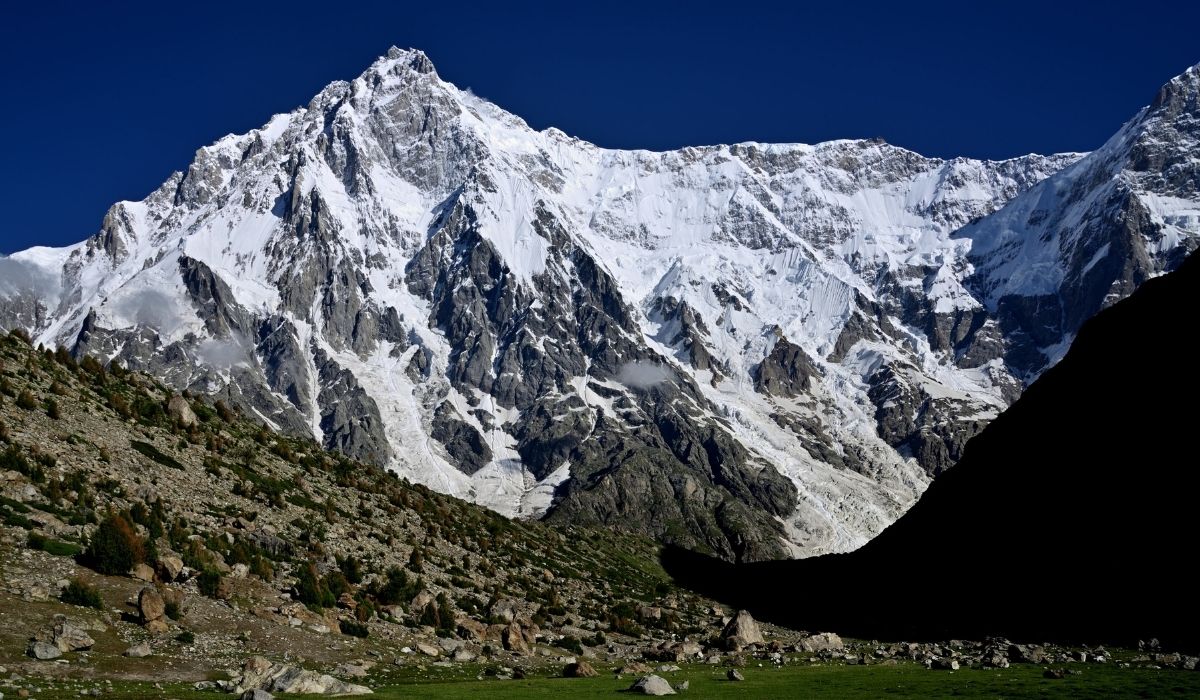
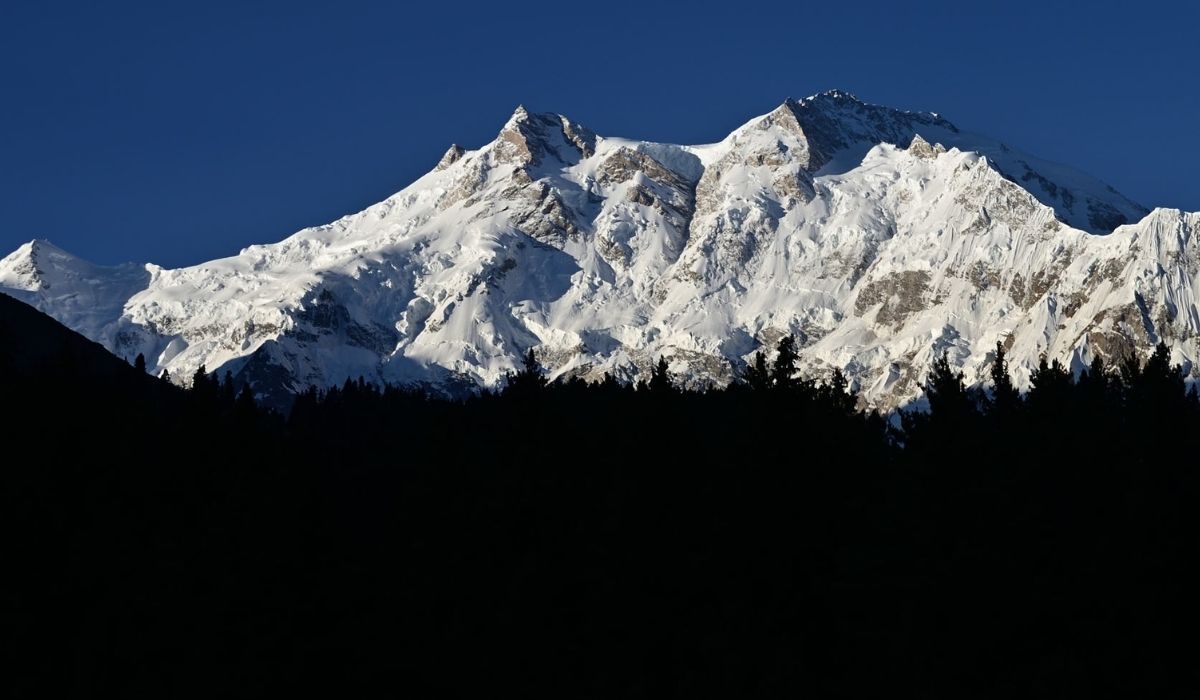
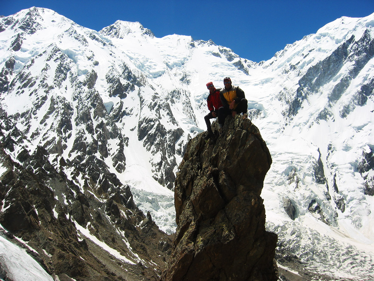
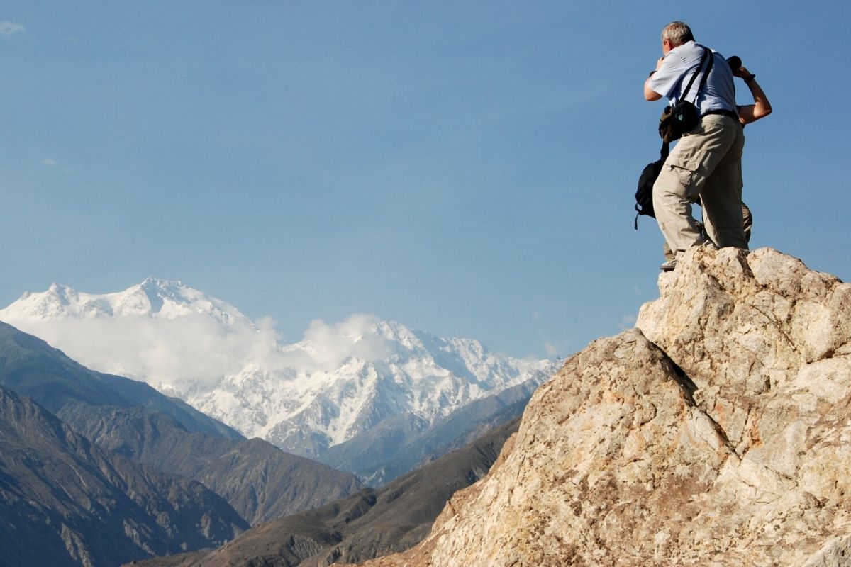
Nanga Parbat 8126-m known locally as Diamer, means Naked Mountain, but people love to call it “Sleeping Beauty” of western Himalayan Mountain Range. Nanga Parbat lies south of the Indus river, Diamer district of Gilgit Baltistan. In 1937 twelve climbers and eighteen Sherpa’s died on Nanga Parbat, due to this disaster on Nanga Parbat gave it nick-name “killer mountain and in 1953 by joined Austrian/German expedition named Hermann Buhl was the first to climb the Nanga Parbat in summer. Later on, many climbers from different parts of the world scaled Nanga Parbat, it is the 2nd highest peak after K2 in Pakistan and ranked 9th highest peak in the world.
Winter Nanga Parbat expedition Nanga Parbat was first successfully climbed in winter on February 26, 2016, by a team consisting of Ali Sadpara from Pakistan, Alex Txikon from Spain and Simone Moro from Italy.
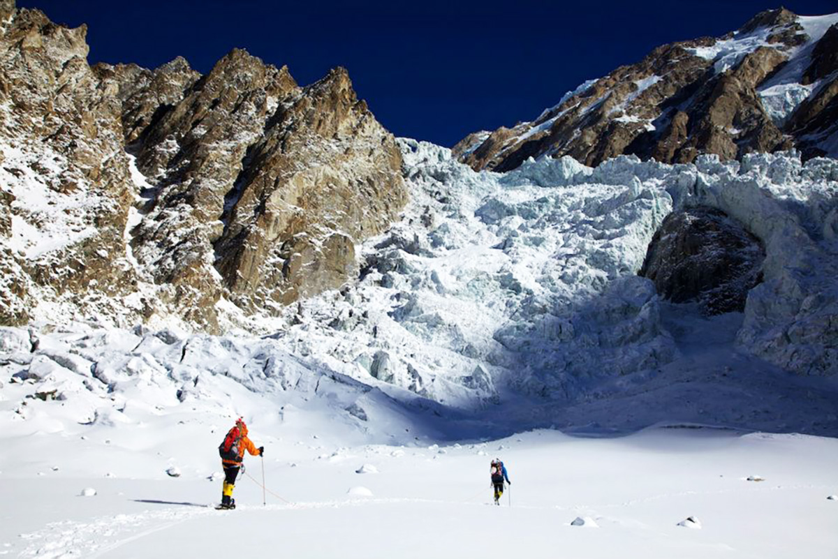
Nanga Parbat has three (3) gigantic faces i.e. the Raikot East face, Diamer west face route and Rupal south face, Herligkoffer BC which is the highest face 4600m from the base camp. Nanga Parbat has three (3) beautiful moderate treks plus around Nanga Parbat trek.
We drive approximately 10 to 12 hours from Islamabad to Chilas, next 2 to 3-hour drive from Chilas to Astore 129 km and continue drive to Tarashing village 30 km 5/6 hours. In 5/6 days, we complete beautiful moderate Nanga Parbat Rupal face trek from Tarashing to Herlingkoffer BC, Shaigiri, Latoba, Mazeno BC and back to Tarashing.
Welcome at Islamabad airport and transfer to hotel. Afternoon proceed for city tour of Islamabad and Rawalpindi, which includes famous Faisal Mosque, Shakar Parian, Pakistan monument, Damen Koh, Lok Versa, Museum, Rawalpindi old bazaar, Raja Bazaar.
Accommodation: Hotel
Meals: Breakfast, Lunch, Dinner
Drive to Naran 279 km, after lunch continue drive to Chilas 113.3 km via Babusar Pass 4,173 m.
Babusar Pass is a high mountain pass at an elevation of 4,173 m (13,691 ft) above the sea level. The pass is the highest point in the Kaghan Valley, Pakistan. The pass connects the Kaghan Valley via the Thak Nala with Chilas on the Karakorum Highway. It’s one of the famous hair pinned roads in the world.
Accommodation: Hotel
Meals: Breakfast, Lunch, Dinner
Drive to Astore 112km, 2-3 hours and by Jeeps to Tarashing village, which the last village of Rupal valley and it takes ½ hour
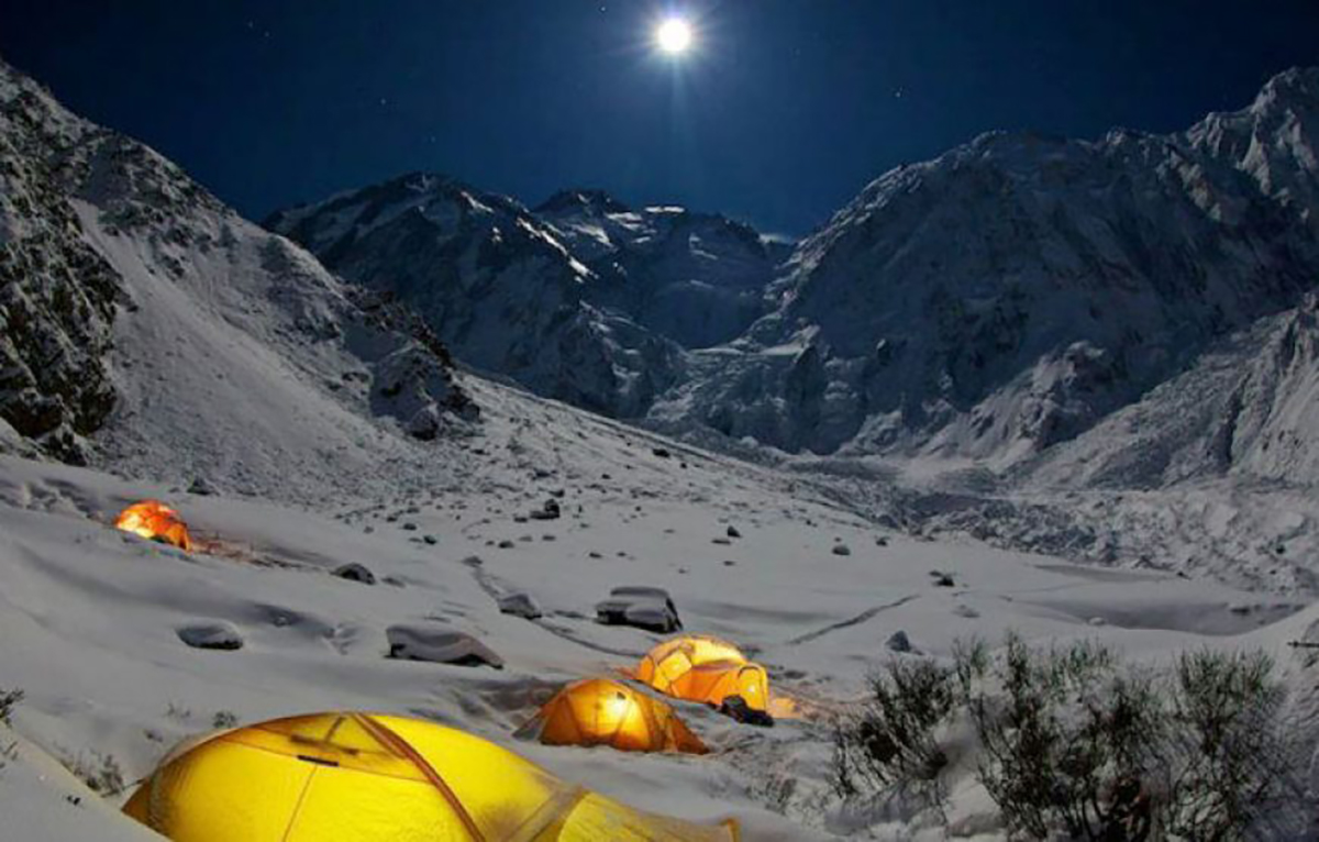
Accommodation: Camping
Meals: Breakfast, Lunch, Dinner
From Tarashing (2911m), climb the Tarashing (cahhungphar on the same maps)) glacier’s lateral moraine, near the village’s north edge, and cross the glacier on a trail. Continue up the gentle valley through Rupal village. Rising gradually through Rupal lush fields, the trail follows the valley’s north side to Herrligkoffer base camp (3550m),
Accommodation: Camping
Meals: Breakfast, Lunch, Dinner
32 days in Gasherbrum base camp for climbing
Accommodation: Camping
Meals: Breakfast, Lunch, Dinner
Trek back to Tarashing village.
Accommodation: Camping
Meals: Breakfast, Lunch, Dinner
Drive back to Chilas 112 km, after lunch continue drive to Naran via Babusar Pass 113 km, 4173m.
Accommodation: Hotel
Meals: Breakfast, Lunch, Dinner
Drive from Naran to Islamabad 279 km.
Accommodation: Hotel
Meals: Breakfast, Lunch, Dinner
Transfer to Islamabad airport for return flight.
- All domestic flights and road transfers
- All hotel accommodation (twin sharing room)
- All trekking accommodation during trek and at base camp
- All camping site and bridge fees
- Government fees (climbing permit fee) and paperwork
- Arrangement of Official Briefing/Debriefing.
- Assist import/export permit from Ministry of Tourism.
- Cargo handling and storage in Skardu office.
- Electricity generator
- First aid medicine kit (basic)
- Satellite phone for emergencies
- D3V sleeping tent, Toilet Tent, Shower Tent and store tnet.
- Kitchen equipment, crockery, cutlery, fuel and related community gear.
- Licensed professional guide (government requirement)
- Support staff (cook, assistant(s) etc)
- International airfare and airport taxes.
- Visa fee for Pakistan and personal insurance of the clients.
- Tips for drivers, porters and staff
- Single Supplement
- Transfers to and from airports for participants making individual air arrangements
- Optional excursions or deviations from the scheduled tour
- Sleeping bag and all personal expenses such as telephone charges, liquor or soft drinks,
- Room service, gratuities for personal services, items of a purely
- Any other service that is not mentioned in the list above.
